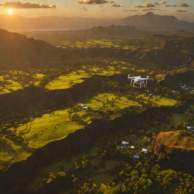
✈ Professional Drone Mapping
Upload photos. Get 3D models.
Automated orthophoto, DSM, DTM, and point cloud generation using WebODM on our private cluster — 28 cores, 251GB RAM, NVIDIA RTX 5070 Ti.
Automated orthophoto, DSM, DTM, and point cloud generation using WebODM on our private cluster — 28 cores, 251GB RAM, NVIDIA RTX 5070 Ti.
Pick a plan and create your account. Free tier includes 1 project.
Sign in to manage your subscription and view project limits.
Ask about drone mapping, account setup, or anything else.